Drone Technology
“Mapping the Future with Aerial Intelligence”
Introduction:
“With every flight, drone technology reshapes our perspective, bridging innovation and precision to unlock limitless possibilities.”
Unmanned aerial vehicles (UAVs) “Drone”, offering innovative solutions across various sectors. These Drones, equipped with sophisticated sensors, cameras, and communication systems, have transformed numerous industries from precision farming in agriculture to advanced surveying and mapping in photogrammetry, construction and environmental monitoring; drones have revolutionized traditional practices. They have also improved the effectiveness of emergency services, provided creative opportunities in media and entertainment, and enhanced the safety and efficiency of infrastructure inspections, by enhancing efficiency, reducing costs, and providing new capabilities.

Technology and Innovation:
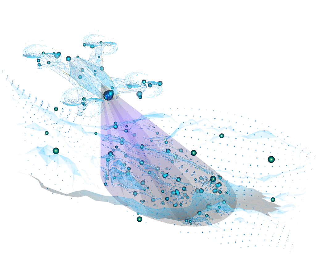
Our drones equipped with high-resolution cameras (P1 – Oblique), high-precision GNSS module and LiDAR (Light Detection and Ranging) sensors capture detailed aerial imagery, spatial data and photogrammetry solutions. the collected data is used to create accurate Cadastral Maps, topographic surveys, Digital Elevation Models (DEMs) and contour maps and providing detailed information about the terrain and landscape.
Our Key services and application:
The post processing part at SOBEK is amazing, we consider ourselves the specialists in that part as we Using most of the recent data processing software’s like Context capture, PIX4D, Drone Mapper and Orbit to produce georeferenced Mosaic images, 3D Mesh and point cloud to digitize features and calculate volumes. with Cloud-based processing platforms for real-time data analysis and visualization. This capability enables surveyors to make immediate decisions based on the collected data, enhancing project responsiveness.
Our Drones seamlessly integrate with Geographic Information Systems (GIS) and Building Information Modeling (BIM) platforms, allowing for comprehensive data analysis and management. This integration facilitates better planning, design, and maintenance of infrastructure projects.
Our Drones have significantly transformed the field of land surveying by around a paradigm shift in how spatial data is collected, analyzed, and utilized. Their efficiency, accuracy, cost-effectiveness, and safety make them an invaluable asset for surveyors. In the last 5 years at SOBEK, we are using drone technology in our Land survey projects, we can deliver very high accurate images up to 5 cm accuracy and DEMs, we reach these high performance, quality, assurance by applying GCP’s at the site.
with High-resolution imagery captured by drones we can use it to delineate property boundaries accurately. We can use these images to digitize and define coordinates. This application is particularly useful in real estate, land development, and resolving legal disputes.
Our Drone has its ability to perform site surveys, monitor progress, create 3D models of construction sites, capture aerial images and data, providing real-time insights into project status and ensure compliance with design specifications. At SOBEK we can enhance safety by inspecting hard-to-reach areas, such as scaffolding or high-rise buildings, without putting workers at risk.
We regard drone Inspection as the most critical application of drone technology, our team at SOBEK have been licensed as drone inspection pilots especially when inspecting tall structures like power lines, bridges, wind turbines, and pipelines. Our drones can easily access these hard-to-reach areas and capture high-resolution images and videos for detailed analysis with efficiency and safety of infrastructure inspection.
We are using our drone to track changes in ecosystems, monitor wildlife, track deforestation in remote areas and assess the health of forests and water bodies. For instance, drones can enable researchers and conservationists to make informed decisions, contributing to the preservation of natural habitats and biodiversity.
In the media and entertainment industry, our drones have opened up new possibilities for aerial photography, filmmaking, and live broadcasting of events, such as sports, concerts, and festivals, providing unique perspectives and enhancing the viewer experience. Drones can capture stunning aerial shots and dynamic footage and allowing filmmakers and content creators to produce high-quality visuals at a fraction of the cost. We offering creative and cost-effective solutions.
Monitoring and tracking; Drone monitoring and tracking involve real-time surveillance and management of drone operations using GPS, telemetry, and advanced sensors. These systems provide live location updates, flight path tracking, geofencing, and automated alerts for security and operational efficiency. Used in industries like agriculture, logistics, security, and airspace management, drone tracking enhances safety, ensures regulatory compliance, and optimizes fleet management.
Our Drone Arsenal:
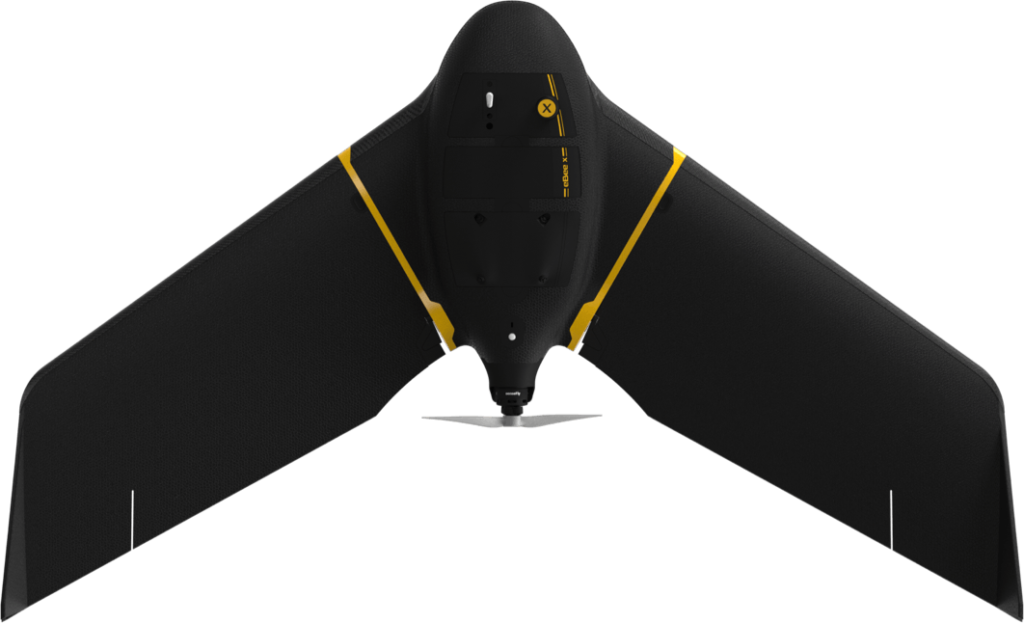
Our business development team working smartly to be aware of the recent technology, we have DJI Matrices RTK series to provides high-precision aerial data collection with real-time kinematic (RTK) positioning for aerial mapping and topographic surveys, SenseFly, Wingtra Fixed-wing drones which designed for large-scale mapping projects, capable of covering vast areas with high accuracy, Mavic Series for Media and Filmmaking. As we equipped our drones with High-resolution cameras, LiDAR sensors and all needed accessories.

SenseFly eBee X

DJI M350 RTK

Wingtra

DJI MAVIC
Benefits of Using Drones in Agriculture:
-
Efficiency and Speed
With our drone we can cover large areas in a fraction of the time it takes for traditional ground-based surveys. This rapid data collection capability translates to faster project turnaround times.
-
Accuracy and Precision
Advanced sensors, such as LiDAR and RTK (Real-Time Kinematic) GNSS, enable drones to capture highly accurate spatial data. This precision is crucial for applications requiring detailed and reliable measurements.
-
Cost-Effectiveness
Drones reduce the need for extensive manpower and equipment, lowering overall survey costs. So we achieve the best quality with the lowest price.
-
Safety
AI-driven flight planning enables drones to execute complex survey missions with minimal human intervention and minimize the need for surveyors to operate in hazardous environments, such as construction sites, cliffs, and contaminated areas.
Sustainability Commitment:
At SOBEK®, we are dedicated to advancing drone technology while prioritizing sustainability and environmental stewardship. Our commitment to sustainability is reflected in every aspect of our operations, from the development of eco-friendly drones to the implementation of green practices in our daily activities.


Customer Support:
Our support plays a vital role in ensuring clients efficiently utilize drone mapping technology. It includes technical assistance, software support, training, and maintenance services. Clients receive real-time guidance on data processing, drone operations, and regulatory compliance. Additionally, after-sales support includes firmware updates, equipment repairs, and system optimizations to enhance performance. A dedicated support team ensures seamless workflow, accurate geospatial data collection, and customer success.
We're more than happy to help!
Ready to take control of your maps? Let us help you achieve your goals with our tailored solutions.
