
Land Survey
"Defining Boundaries with Precision"
Introduction:
“Accurate surveys are the foundation of every great project, our commitment is to deliver precision that inspires progress.”
Land surveying is a critical aspect of construction, engineering, and geospatial analysis, requiring precise and reliable equipment to measure and map the physical environment. As the landscape of land surveying is rapidly evolving with advancements in technology, traditional equipment like theodolites and levels still remain fundamental, but modern tools such as GNSS, LiDAR, drones, and mobile mapping systems are transforming the field. Innovations in BIM, AR, AI, IoT, and blockchain are further enhancing the accuracy, efficiency, and reliability of surveying processes.

Technology and Innovation:
Drone Technologies advancements continue to enhance their capabilities, the adoption of drones in land surveying is expected to grow, driving further innovation and transforming the industry. GNSS, LiDAR, drones, BIM, and AR are at the forefront of this transformation, each contributing unique advantages and applications and also opening up new possibilities for data collection and analysis, ultimately leading to better-informed decisions and more effective project outcomes.
Building Information Modeling (BIM), Augmented Reality (AR), Artificial Intelligence (AI) and Machine Learning (ML), Integration of IoT (Internet of Things), Quantum Positioning Systems (QPS), Blockchain Technology will be the Future Trends in Surveying Technology.
Our Key services and application:
Land Surveys
Topographic Surveys
Construction Staking
As-Built Surveys
3D Laser Scanning
Hydrographic Surveys
Aerial and Drone Surveys
Mobile Mapping Survey
ALTA/NSPS Land Title Surveys
Subdivision Design and Platting
Geospatial Data Collection and Analysis
Geodetic and Control Surveys
Technology and Equipment:
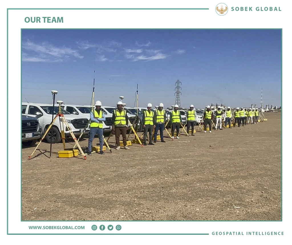
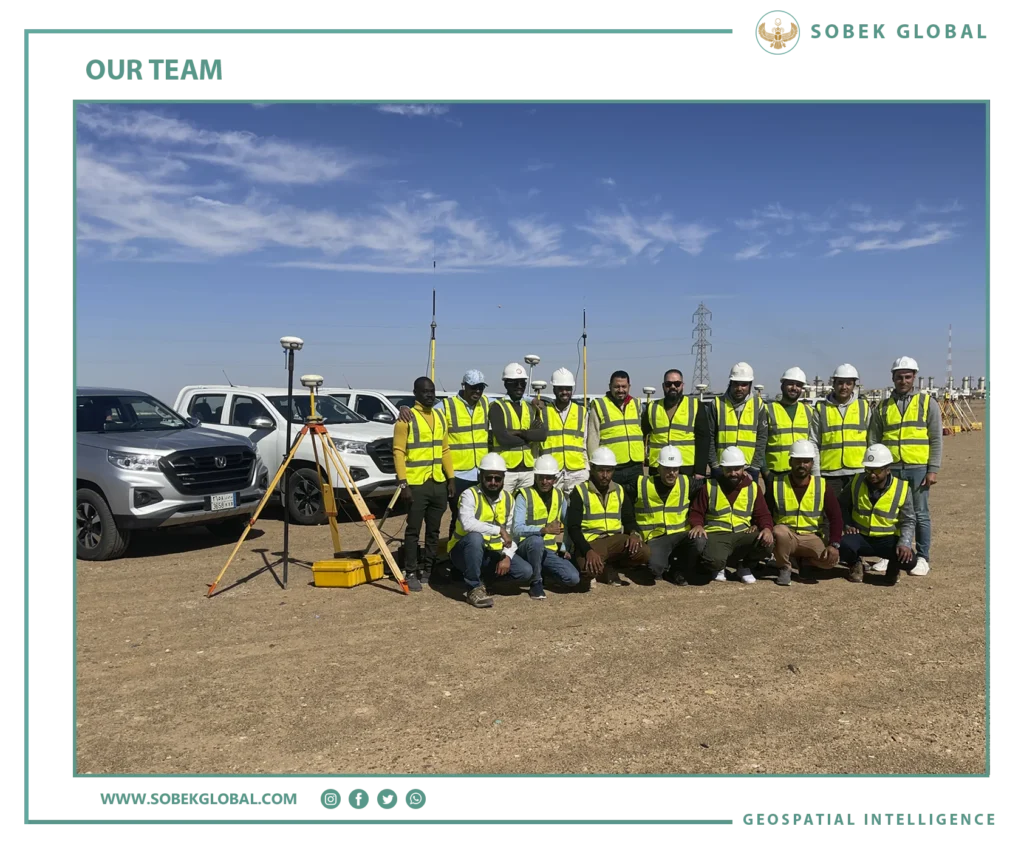
At SOBEK, we consider our expert team is the main core of the company and we working hardly to develop them with the most recent innovation technology in land surveying field to become pioneers in these industry and deliver high quality deliverables in all our projects, transfer our knowledge to the government authorities and follow our customer satisfaction policy.
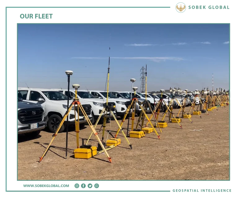
We utilize the most advanced technology and equipment including GPS, Total Stations, Theodolites, Levels, 3D Laser Scanners, Mobile Mapping Vehicle and UAVs (drones), to ensure precision and efficiency in our survey projects, our arsenal includes the coming categories:
Our Methodology
Modern Land survey Technology
✅ Mobile Mapping system (MMS) which collect geospatial data while in motion, and equipped with various sensors to capture high-resolution spatial information over large areas.
✅ 3D Laser Scanners (LiDAR) can collect millions of such measurements per second, capturing detailed point clouds and creating accurate 3D models of sites.
✅Hydrographic Survey using High-resolution multibeam echosounder system for precise underwater mapping and bathymetric surveys.
✅ Drone survey which considered the most recent spatial data collection technology by capturing detailed aerial imagery, spatial data and photogrammetry solutions. the collected data is used to create accurate Cadastral Maps, topographic maps, Digital Elevation Models (DEMs).
Traditional Land Survey
✅ For decades, Still the Traditional surveying equipment’s the main fundamental assets for the land surveying projects, using Theodolites, Levels, Total Stations like Topcon, Leica and Trimble for detailed measurement and layout tasks, with Integrated scanning for comprehensive data collection.
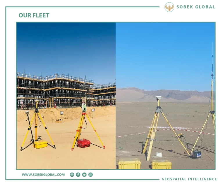
✅ At SOBEK we have 15 system of GPS (Global Positioning System) which use satellite signals to determine precise locations on Earth, Utilized of RTK (Real-Time Kinematic) GNSS receivers for real-time, high-precision positioning, reliable performance in challenging environments, ensuring centimeter-level accuracy. Like Trimble R12i, Leica GS18 I and other versions of GNSS smart antenna with integrated imaging capabilities for capturing site conditions and measurements.
Our Surveying Equipment Arsenal:
Sustainability Commitment
We are a leader provider of land surveying services, with our team of experienced Engineers, surveyors and the latest surveying technology are dedicated to delivering accurate data collection, analysis, professionalism and reliable surveying solutions for a diverse range of projects. With a commitment to innovation and precision, continuously investing in the latest technology, equipment and training to ensure the highest quality results for our clients.


Customer Support:
At SOBEK®, our customer support is committed to delivering exceptional service in land surveying. We provide clear communication, expert technical assistance, and responsive support to ensure a smooth experience for our clients. From initial consultation to final data delivery, we assist with project planning, on-site coordination, and post-survey services. Our team is always available to address inquiries, interpret survey data, and ensure accuracy and efficiency. By prioritizing client satisfaction and trust, we build lasting relationships and contribute to the success of every project.
We're more than happy to help!
Ready to take control of your maps? Let us help you achieve your goals with our tailored solutions.