
Satellite Imagery
"Capture the World: From the Space"
Introduction:
“In the age of information, Geospatial and Geographic Information System (GIS) services involve the collection, analysis, and visualization of data related to its geographical location.”
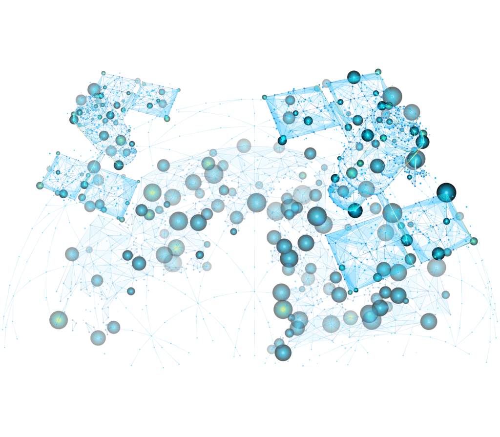
Geospatial Solution combined with GIS, a framework for gathering, managing, and analyzing data, allows for the visualization of spatial information in maps and 3D spatial models, and comprehensive databases that provide valuable insights into geographic patterns and relationships.
Technology and Innovation:
Commercial satellites vary in their capabilities, particularly in terms of resolution and accuracy, which can be influenced by various factors, including atmospheric conditions, sensor technology, orbital altitude, and processing techniques used to generate the final imagery.
As satellite technology continues to advance, the potential uses of commercial satellite images will only expand, offering even greater insights and opportunities for innovation in the future.
In SOBEK® We are working to be an active member and play a crucial role in satellite imagery industry with our globe partners, making space accessible and actionable for businesses and governments worldwide, fostering sustainable development and enhancing decision-making across all sectors.
Our Key services and application:
Providing advanced analytics and machine learning capabilities to extract actionable insights from satellite imagery. This can include object detection, land cover classification, coastal erosion, identify changes in landscapes and predictive modeling for agriculture or environmental management.
Offering tailored mapping solutions based on satellite imagery for specific projects or requirements. We can build a customized GIS layers with professional geodatabases to build your digital data.
Using Digital Elevation Models (DEMs) Creating 3D models of the Earth’s terrain to support engineering, construction, hydrology and more geographical analyses, as we can create 3D Terrain Modeling (DTM) of the Earth’s surface using stereo satellite imagery. This is used in applications like flight simulation, telecommunications planning.
Allowing clients to request the acquisition of new satellite imagery for specific areas of interest, ensuring up-to-date and relevant data for their projects.
Providing images in multiple spectral bands to capture different aspects of the Earth’s surface, such as vegetation health, water quality, and mineral composition. This is valuable for environmental monitoring, agriculture, and resource exploration.
Utilizing synthetic aperture radar (SAR) technology to provide all-weather, day-and-night imaging capabilities. SAR imagery is useful for disaster response, maritime surveillance, and monitoring changes in land surface, such as deforestation or urban expansion.
It’s a part of the electromagnetic spectrum which provides the highest resolution data for precisely identifying and characterizing many objects otherwise not visible to the human eye or via the regular eight multispectral bands, identify hotspots from wildfires, volcanic activity or man-made heat sources, Locate and classify man-made materials and geologic minerals on Earth’s Surface, penetrate smoke and haze to get a clear view of the ground.
Offering expert consulting and technical support to help clients effectively use satellite imagery and data for their specific applications.
We Can Provide:
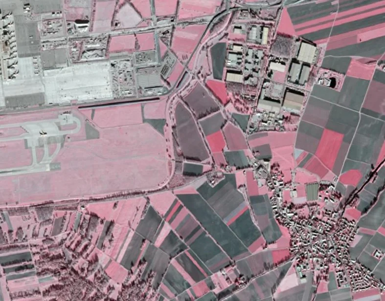
High-Resolution Imagery
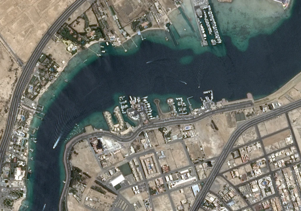
- Satellite Resolution: Between 1 meter and 5 meters per pixel.
- Accuracy: Suitable for detailed mapping, urban planning.
- Examples: SPOT 6 and SPOT 7.
Very High-Resolution Imagery (VHR)
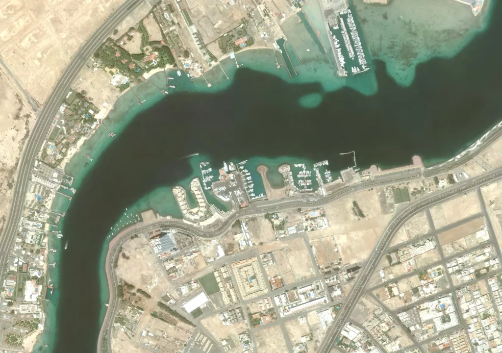
- Satellite Resolution: Less than 1 meter per pixel.
- Accuracy: Precision mapping, environmental monitoring.
- Examples: WorldView-3, GeoEye-1.
Medium-Resolution Imagery
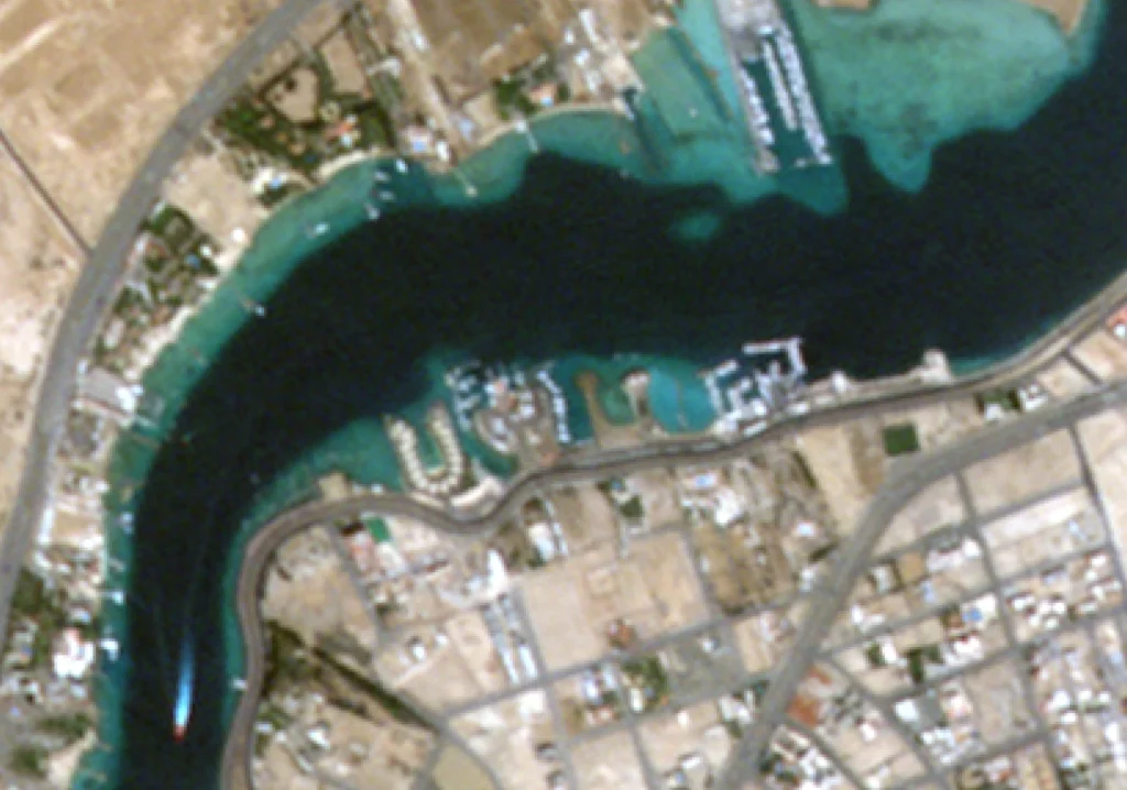
- Satellite Resolution: between 5 meters and 30 meters per pixel.
- Accuracy: Used for regional mapping, land cover classification.
- Examples: Landsat 8, Sentinel-2.
Short-wave infrared (SWIR)
- Satellite Resolution: High resolution imagery 16 spectral bands.
- Accuracy: High-resolution 3.7 m, Spectral diversity 8 Bands.
- Examples: Maxar’s WorldView-3
Multispectral and Hyperspectral Satellites
- Satellite Resolution: Multispectral resolution from 0.3m to 30m.
- Accuracy: The positional accuracy can be 1 meter.
- Examples: Maxar’s WorldView-2 and WorldView-3.
Digital Elevation Models (DEMs)
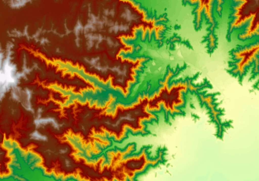
- Satellite Resolution: between 5 meter to 10 meter per pixel.
- Accuracy: up to 5 meters.
- Examples: WorldView-3, GeoEye-1.
Sustainability Commitment:
In SOBEK® We appreciate and respect all our partners around the world, and looking forward to communicate, develop, research, expand the impact and reach of satellite imagery and we commit to be a part of sustainable environment in our community.
We commit to increase using VHR satellite imagery in the market penetration in emerging economies and sectors, by providing tailored, high- resolution satellite imagery of the Earth’s surface.

Customer Support:
With our team of expert geographers, GIS specialists, data scientists, and software engineers with deep knowledge in GIS, mapping and spatial analysis offer a unique perspective on data like high-quality, accurate, high resolution and reliable mapping solutions that are both informative and actionable. Our dedication to quality and innovation positions us as a trusted partner for businesses, governments, and organizations seeking to leverage the power of geospatial technology.

We're more than happy to help!
Ready to take control of your maps? Let us help you achieve your goals with our tailored solutions.